
FRANCE - French Alps
Mercantour - French Riviera Hinterland
If you have time, and a car and a good driver for curvy narrow roads, you can visit the french Riviera hinterland : the Mercantour National Park located in the Alpes-de-Haute-Provence and Alpes-Maritimes departments. Since it was created in 1979, the Mercantour Park has proven popular, with a lot of visitors every year enjoying the 600 km of marked footpaths and visiting its villages. The roads are very scenic, villages are amazing, looking italians (and some were italians before 1945), but don't expect any luxury palace but authenticity of real villages.
The Vallée des Merveilles, also known in english: Valley of Marvels, is a part of the Mercantour National Park. It holds the largest quantity of open-air Bronze Age petroglyphs in Europe.
BEST TIME to VISIT MERCANTOUR
BEST TIME to TRAVEL to FRANCE
From May to October

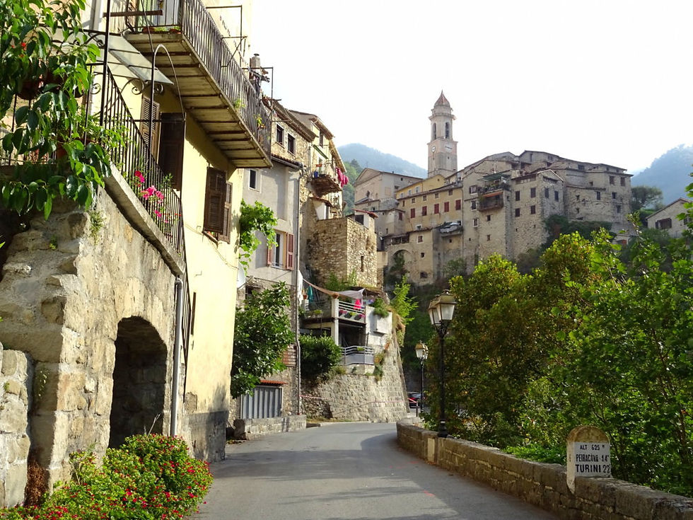
typical village

scenic drive

church in a village

typical village

scenic drive

bridge

scenic drive

typical village - church

typical village - church

typical village - narrow street

typical village

church on a hill

Var valley - view on a mountain village

landscape

landscape with a village

Chapel accessible with the stairs and the bridge

scenic road

landscape between Sospel and Saorge

village around Saint-Martin-de-Vésubie

landscape

Saint-Martin-de-Vésubie

Typical village on a hill

Typical village on a hill

atound Saint-Martin-de-Vésubie - landscape and houses

landscape

Village of Saorge

Typical village on a hill

landscape between Sospel and Saorge

Typical village on a hill

scenic road

Scenic road

village

the village of Roubion

the village of Roubion

landscape

landscape

around Tende - driving thru a village

Tende - crossing the town

Scenic drive from Saorge to Tende - old building

Scenic drive from Saorge to Tende

landscape

Touristic train

Scenic drive - the village of Saorge - church

Around Saint-Martin-de-Vésubie - old houses in a village

landscape around Saint-Martin-de-Vésubie

landscape around Saint-Martin-de-Vésubie - scenic road

landscape around Saint-Martin-de-Vésubie - village

Scenic road around Saint-Martin-de-Vésubie

landscape between Saorge and Tende - river
Scenic road - crossing a typical village

Landscape around Tende

Scenic road - Church and Cemetery

Scenic road - village on a hill

Scenic road - village on a hill

Scenic road - Village on a hill

Var Valley - Village on a hill
Scenic road - Village on a hill

Scenic drive - River and Valley

Scenic road - red stone

Scenic road

Village of Roubion

Scenic drive - Village

Scenic road

The village of Roubion

Scenic drive - Typical village

The village of Roubion from the bottom of the cliff

Col de la Bonette (el. 2,715 metres (8,907 ft)) is a high mountain pass in the French Alps, near the border with Italy. It is situated within the Mercantour National Park. This road is the highest paved through route in the Alps.

Scenic road to the "Col de la Bonette"

Scenic road to the Pass of la Bonette (col de la Bonette)

This road is the highest paved through route in the Alps.

Scenic road to the Pass of la Bonette (col de la Bonette)

Scenic road to the Pass of la Bonette (col de la Bonette)

Scenic road to the Pass of la Bonette (col de la Bonette) - landscape

Scenic road to the Pass of la Bonette (col de la Bonette) - landscape

Scenic road to the Pass of la Bonette (col de la Bonette)- old houses

Scenic road to the Pass of la Bonette (col de la Bonette) - old houses

Road to the pass of la Bonette (col de la Bonette)

Road to the pass of la Bonette (col de la Bonette)

Road to the pass of la Bonette (col de la Bonette) - old farm

Road to the pass of la Bonette (col de la Bonette)

Road to the pass of la Bonette (col de la Bonette)

Road to the pass of la Bonette (col de la Bonette)